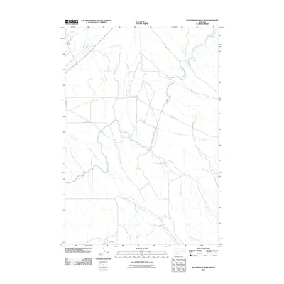
2011 Map of Beaverhead Rock SW
USGS Topo · Published 2011About this map
Diamond O Ranch and the expansive irrigation network of Beaverhead County define this high-plains landscape. The map details a complex system of water management essential for ranching, dominated by the East Bench Canal and smaller waterways like Larson Ditch and Brown Ditch. This infrastructure channels water from Charlton Slough and various drainage points to support agricultural operations across the flats.
Find a feature on this map
16 named features on this map. Tap any name to fly to it.
Don’t see what you’re looking for? This feature index may not catch every label — zoom into the map to look around manually.
Map Details
Editions of this 2011 Beaverhead Rock SW Map
This is the sole edition of this map. No revisions or reprints were ever made.
Other maps of this area

1893 · Dillon
USGS Topo · 1:250,000

1955 · Dillon
USGS Topo · 1:250,000

1957 · Dillon
USGS Topo · 1:250,000

1958 · Dillon
USGS Topo · 1:250,000

1960 · Block Mountain
USGS Topo · 1:24,000

1961 · Mine Gulch
USGS Topo · 1:24,000

1961 · Glen SE
USGS Topo · 1:24,000

1961 · Christensen Ranch
USGS Topo · 1:24,000

1961 · Beaverhead Rock SE
USGS Topo · 1:24,000

1962 · Dillon
USGS Topo · 1:250,000