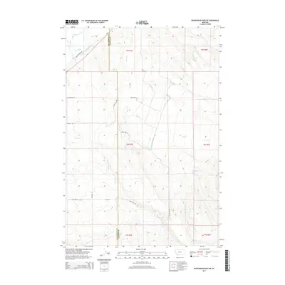
2014 Map of Beaverhead Rock SW
USGS Topo · Published 2014About this map
The Beaverhead Co and Madison Co boundary line bisects this 2014 survey, highlighting an area defined by sophisticated water management in the Montana high country. Agricultural infrastructure is the dominant human imprint on the landscape, with the East Bench Canal winding through the eastern sections while the Staudacher-Bishop-Ditch, Larson Ditch, and Brown Ditch serve the north. These man-made waterways interact with natural drainages like Charlton Slough and Stone Cr, illustrating how early 21st-century ranching and farming rely on redirected water sources.
Find a feature on this map
26 named features on this map. Tap any name to fly to it.
Don’t see what you’re looking for? This feature index may not catch every label — zoom into the map to look around manually.
Map Details
Editions of this 2014 Beaverhead Rock SW Map
This is the sole edition of this map. No revisions or reprints were ever made.
Other maps of this area

1893 · Dillon
USGS Topo · 1:250,000

1955 · Dillon
USGS Topo · 1:250,000

1957 · Dillon
USGS Topo · 1:250,000

1958 · Dillon
USGS Topo · 1:250,000

1960 · Block Mountain
USGS Topo · 1:24,000

1961 · Mine Gulch
USGS Topo · 1:24,000

1961 · Glen SE
USGS Topo · 1:24,000

1961 · Christensen Ranch
USGS Topo · 1:24,000

1961 · Beaverhead Rock SE
USGS Topo · 1:24,000

1962 · Dillon
USGS Topo · 1:250,000