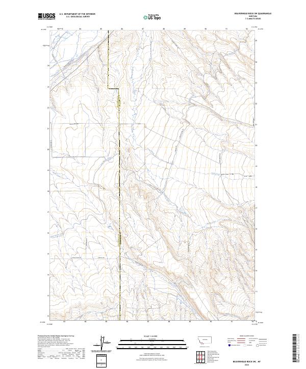
2024 Map of Beaverhead Rock SW
USGS Topo · Published 2024About this map
The Beaverhead Co Madison Co border divides this high-altitude landscape where complex irrigation networks dictate the patterns of human settlement. The East Bench Canal winds across the topography, a critical piece of water infrastructure that supports ranching and agriculture in this semi-arid region. Natural drainages like Spring Creek and Trout Creek intersect with man-made features such as Brown Ditch and the E Bench Rd, illustrating the intensive management of local water resources. Named roads like Ravin' Raven Rd and Diamond O Dr provide access to the foothills, while the lower elevations near Willow Spring Creek show the confluence of natural springs and seasonal runoff. The map reveals how the Public Land Survey System township and range lines, such as t6s r7w, continue to define property boundaries and land use across the southwestern Montana terrain.
Find a feature on this map
22 named features on this map. Tap any name to fly to it.
Don’t see what you’re looking for? This feature index may not catch every label — zoom into the map to look around manually.
Map Details
Editions of this 2024 Beaverhead Rock SW Map
This is the sole edition of this map. No revisions or reprints were ever made.
Other maps of this area

1893 · Dillon
USGS Topo · 1:250,000

1955 · Dillon
USGS Topo · 1:250,000

1957 · Dillon
USGS Topo · 1:250,000

1958 · Dillon
USGS Topo · 1:250,000

1960 · Block Mountain
USGS Topo · 1:24,000

1961 · Mine Gulch
USGS Topo · 1:24,000

1961 · Glen SE
USGS Topo · 1:24,000

1961 · Christensen Ranch
USGS Topo · 1:24,000

1961 · Beaverhead Rock SE
USGS Topo · 1:24,000

1962 · Dillon
USGS Topo · 1:250,000