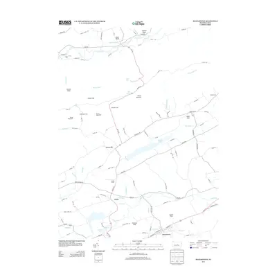
2013 Map of Beavertown
USGS Topo · Published 2013About this map
Beavertown and the village of Troxelville anchor this 2013 study of the Central Pennsylvania landscape, where agricultural valleys are defined by the high, parallel ridges of Booney Mountain and Grass Mountain. The drainage pattern is complex, with Middle Cr and its tributaries like N Br Middle Cr and Moyers Mill Run cutting through the gaps. Human activity is clustered along Route 235, which connects the northern settlement of Glen Iron on Penns Cr to the larger community of Beavertown in the south. Notable local landmarks include Walker Lake, Gilfert Airport, and the seasonal Camp Loka, reflecting a mix of aviation, recreation, and rural residence. Traditional mountain gaps like Schrader Gap and Breininger Gap continue to dictate the local road network, such as Swift Run Rd and Troxelville Rd, tracing paths through the rugged topography.
Find a feature on this map
102 named features on this map. Tap any name to fly to it.
Don’t see what you’re looking for? This feature index may not catch every label — zoom into the map to look around manually.
Map Details
Editions of this 2013 Beavertown Map
This is the sole edition of this map. No revisions or reprints were ever made.
Other maps of this area

1907 · Millerstown
USGS Topo · 1:62,500

1925 · Mifflintown
USGS Topo · 1:48,000

1934 · Mifflintown
USGS Topo · 1:62,500

1937 · Mifflintown
USGS Topo · 1:62,500

1937 · Millheim
USGS Topo · 1:48,000

1938 · Mifflinburg
USGS Topo · 1:48,000

1941 · Millheim
USGS Topo · 1:62,500

1943 · Millerstown
USGS Topo · 1:62,500

1943 · Mifflinburg
USGS Topo · 1:62,500

1950 · Harrisburg
USGS Topo · 1:250,000