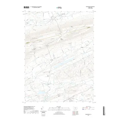
2019 Map of Beavertown
USGS Topo · Published 2019About this map
Jacks Mountain and Penns Creek Mtn dominate this section of central Pennsylvania, carving out a series of ridges and narrow valleys defined by historic watercourses. The drainage of Moyers Mill Run and the north branch of Middle Creek feed into Walker Lake, a prominent water body situated just east of Troxelville. The terrain is characterized by sharp gaps like Schrader Gap and Breininger Gap, which historically dictated the paths of travel through this ridge-and-valley landscape.
Find a feature on this map
103 named features on this map. Tap any name to fly to it.
Don’t see what you’re looking for? This feature index may not catch every label — zoom into the map to look around manually.
Map Details
Editions of this 2019 Beavertown Map
This is the sole edition of this map. No revisions or reprints were ever made.
Other maps of this area

1907 · Millerstown
USGS Topo · 1:62,500

1925 · Mifflintown
USGS Topo · 1:48,000

1934 · Mifflintown
USGS Topo · 1:62,500

1937 · Mifflintown
USGS Topo · 1:62,500

1937 · Millheim
USGS Topo · 1:48,000

1938 · Mifflinburg
USGS Topo · 1:48,000

1941 · Millheim
USGS Topo · 1:62,500

1943 · Millerstown
USGS Topo · 1:62,500

1943 · Mifflinburg
USGS Topo · 1:62,500

1950 · Harrisburg
USGS Topo · 1:250,000