2023 Map of Beavertown
USGS Topo · Published 2023About this map
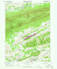
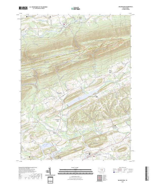
Walker Lake and the winding course of Middle Creek anchor this central Pennsylvania landscape, where the valley floors are defined by long-established agricultural communities and the surrounding ridges remain heavily forested. The transition from the high elevations of Jacks Mountain and Penns Creek Mountain down to the settled corridor of Beaver Springs and Troxelville illustrates a classic ridge-and-valley settlement pattern. In the north, the Bald Eagle State Forest preserves the upland terrain, including gaps like Breininger Gap and the heights of Booney Mountain.
Find a feature on this map
106 named features on this map. Tap any name to fly to it.
Don’t see what you’re looking for? This feature index may not catch every label — zoom into the map to look around manually.
Map Details
Editions of this 2023 Beavertown Map
This is the sole edition of this map. No revisions or reprints were ever made.