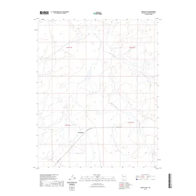
2023 Map of Becenti Lake
USGS Topo · Published 2023About this map
Crownpoint serves as a focal point in this high-desert landscape of McKinley County, positioned where Navajo Svc Rte 9 traverses the southern reaches of the quadrangle. The terrain is defined by its intermittent drainage systems, notably the Kim-me-ni-oli Wash and Seven Lakes Wash, which carve complex paths through the arid basins. These washes, alongside Becenti Lake, illustrate the critical importance of water management and ephemeral flow in this region of New Mexico. The map provides a contemporary view of land divisions within the Public Land Survey System, showing the intersection of Townships 18 and 19 North across Ranges 11 and 12 West. This alignment highlights how modern infrastructure like the Navajo Service Route 9 follows the natural contours of the land while connecting residential and administrative centers in the Navajo Nation.
Find a feature on this map
9 named features on this map. Tap any name to fly to it.
Don’t see what you’re looking for? This feature index may not catch every label — zoom into the map to look around manually.
Map Details
Editions of this 2023 Becenti Lake Map
This is the sole edition of this map. No revisions or reprints were ever made.
Other maps of this area

1883 · Mt. Taylor
USGS Topo · 1:250,000

1886 · Wingate
USGS Topo · 1:250,000

1886 · Mt. Taylor
USGS Topo · 1:250,000

1892 · Wingate
USGS Topo · 1:250,000

1892 · Mt. Taylor
USGS Topo · 1:250,000

1899 · Mt. Taylor
USGS Topo · 1:250,000

1954 · Gallup
USGS Topo · 1:250,000

1958 · Gallup
USGS Topo · 1:250,000

1958 · Albuquerque
USGS Topo · 1:250,000

1959 · Gallup
USGS Topo · 1:250,000