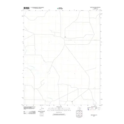
2010 Map of Beck Ranch
USGS Topo · Published 2010About this map
Punta de Agua Creek meanders through the northwest corner of this Hartley County landscape, defining the primary drainage for this stretch of the Texas Panhandle. The map captures the specialized ranching infrastructure of the region during the early 21st century, centered on the Beck Ranch and the remote U Bar Camp to the south. The road network is sparse, consisting mainly of local routes like Beck Ranch Rd and Bunker Hill Rd, reflecting a landscape dedicated to large-scale cattle operations rather than dense residential settlement. This survey provides a clear view of the ranch boundaries and water features that have sustained agricultural life in this part of Texas for generations.
Find a feature on this map
5 named features on this map. Tap any name to fly to it.
Don’t see what you’re looking for? This feature index may not catch every label — zoom into the map to look around manually.
Map Details
Editions of this 2010 Beck Ranch Map
This is the sole edition of this map. No revisions or reprints were ever made.
Other maps of this area

1954 · Tucumcari
USGS Topo · 1:250,000

1954 · Dalhart
USGS Topo · 1:250,000

1958 · Tucumcari
USGS Topo · 1:250,000

1958 · Dalhart
USGS Topo · 1:250,000

1962 · Dalhart
USGS Topo · 1:250,000

1970 · Sedan SE
USGS Topo · 1:24,000

1971 · Koger Ranch
USGS Topo · 1:24,000

1971 · Middle Water
USGS Topo · 1:24,000

1971 · Amistad SE
USGS Topo · 1:24,000

1971 · Syndicate Hills
USGS Topo · 1:24,000