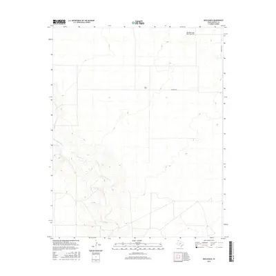
2016 Map of Beck Ranch
USGS Topo · Published 2016About this map
Beck Ranch serves as the primary landmark in this expanse of the Texas Panhandle, situated within a landscape defined by dramatic shifting sands and intermittent watercourses. The northern portion of the quadrangle is dominated by the Red White and Blue Sand Hills, a distinctive topographic feature that shapes the local environment. Below these heights, the Punta de Agua Cr meanders through the terrain, illustrating the sparse but critical drainage patterns of Hartley County. The map details the minimal infrastructure required for such a large-scale ranching operation, focusing on essential transit routes like Beck Ranch Rd and Bunker Hill Rd which connect the isolated ranch headquarters to the wider region. This 2016 survey documents the enduring spatial layout of industrial ranching in the high plains.
Find a feature on this map
5 named features on this map. Tap any name to fly to it.
Don’t see what you’re looking for? This feature index may not catch every label — zoom into the map to look around manually.
Map Details
Editions of this 2016 Beck Ranch Map
This is the sole edition of this map. No revisions or reprints were ever made.
Other maps of this area

1954 · Tucumcari
USGS Topo · 1:250,000

1954 · Dalhart
USGS Topo · 1:250,000

1958 · Tucumcari
USGS Topo · 1:250,000

1958 · Dalhart
USGS Topo · 1:250,000

1962 · Dalhart
USGS Topo · 1:250,000

1970 · Sedan SE
USGS Topo · 1:24,000

1971 · Koger Ranch
USGS Topo · 1:24,000

1971 · Middle Water
USGS Topo · 1:24,000

1971 · Amistad SE
USGS Topo · 1:24,000

1971 · Syndicate Hills
USGS Topo · 1:24,000