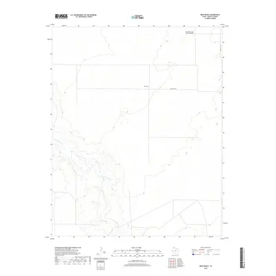
2019 Map of Beck Ranch
USGS Topo · Published 2019About this map
Beck Ranch anchors this high plains landscape in Hartley County, representing the persistent ranching legacy of the Texas Panhandle. The topography is defined by the wandering course of Punta de Aqua Cr, which carves a network of drainages across the western and southern reaches of the map. To the north, the distinctive Red White and Blue Sand Hills rise above the surrounding terrain, providing a notable geological landmark in an area otherwise dominated by open range and isolated ranching infrastructure. Transportation in this corner of Texas is limited to essential corridors like Beck Ranch Rd and Bunker Hill Rd, reflecting a landscape where distance and land use dictate a sparse human footprint. This survey provides a precise look at modern land boundaries and water sources vital to life in this arid region.
Find a feature on this map
5 named features on this map. Tap any name to fly to it.
Don’t see what you’re looking for? This feature index may not catch every label — zoom into the map to look around manually.
Map Details
Editions of this 2019 Beck Ranch Map
This is the sole edition of this map. No revisions or reprints were ever made.
Other maps of this area

1954 · Tucumcari
USGS Topo · 1:250,000

1954 · Dalhart
USGS Topo · 1:250,000

1958 · Tucumcari
USGS Topo · 1:250,000

1958 · Dalhart
USGS Topo · 1:250,000

1962 · Dalhart
USGS Topo · 1:250,000

1970 · Sedan SE
USGS Topo · 1:24,000

1971 · Koger Ranch
USGS Topo · 1:24,000

1971 · Middle Water
USGS Topo · 1:24,000

1971 · Amistad SE
USGS Topo · 1:24,000

1971 · Syndicate Hills
USGS Topo · 1:24,000