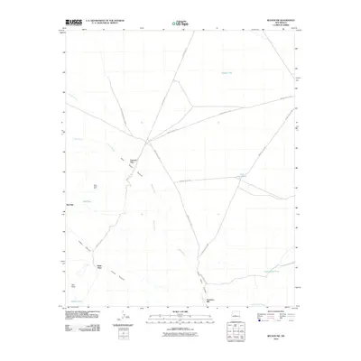
2010 Map of Becker SW
USGS Topo · Published 2010About this map
Palo Duro Canyon and Cibola Canyon define the drainage patterns of this high-desert landscape in Socorro County. The map reveals a cluster of industrial and residential outposts, including Canyon Mill, Tomasino Mill, and the Red Mill site. These locations, along with Gibbs Place, suggest a history of small-scale mining or ranching operations typical of the region's scattered settlement pattern. A significant portion of the northern and eastern territory falls within the White Sands Missile Range, where access is managed via specialized routes like WSMR S Route 3814. Water management is critical here, evidenced by several strategically placed tanks such as Middle Tank, Cottonwood Tank, and Test Well Tank which dot the arid plains between the Salas Arroyo and Agua de los Torres.
Find a feature on this map
25 named features on this map. Tap any name to fly to it.
Don’t see what you’re looking for? This feature index may not catch every label — zoom into the map to look around manually.
Map Details
Editions of this 2010 Becker SW Map
This is the sole edition of this map. No revisions or reprints were ever made.
Other maps of this area

1906 · Socorro
USGS Topo · 1:62,500

1916 · La Joya
USGS Topo · 1:125,000

1952 · Black Butte
USGS Topo · 1:24,000

1952 · La Joya
USGS Topo · 1:24,000

1952 · Becker SW
USGS Topo · 1:24,000

1952 · Becker
USGS Topo · 1:24,000

1952 · Abeytas
USGS Topo · 1:24,000

1952 · Cerro Montoso
USGS Topo · 1:24,000

1954 · Socorro
USGS Topo · 1:250,000

1958 · Socorro
USGS Topo · 1:250,000