
1952 Map of La Joya
USGS Topo · Published 1953About this map
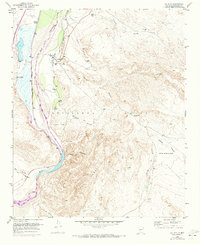
The Rio Grande valley dominates this landscape, serving as a vital corridor where the Atchison Topeka and Santa Fe railroad parallels the river's eastern bank. In the early 1950s, the community of La Joya and the nearby La Joya (Siding) represented the primary nodes of human activity in this arid region, supported by the presence of the La Joya Cemetery. The topography transitions sharply from the fertile river bottoms to the dissected uplands of the Sevilleta Grant, where a network of dry washes like Salas Arroyo and Pascual Arroyo carve through the high desert. To the west, the confluence of the Rio Puerco and the Rio Salado with the main river channel highlights the complex hydrology of the Rio Grande basin. Isolated points of interest such as the Diamond T Ranch and San Geronimo reflect the scattered ranching history of Socorro County.
Find a feature on this map
25 named features on this map. Tap any name to fly to it.
Don’t see what you’re looking for? This feature index may not catch every label — zoom into the map to look around manually.
Map Details
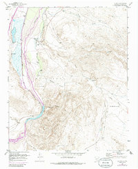
Editions of this 1952 La Joya Map
Other maps of this area

1906 · Socorro
USGS Topo · 1:62,500

1916 · La Joya
USGS Topo · 1:125,000

1952 · La Joya NW
USGS Topo · 1:24,000

1952 · San Anacia
USGS Topo · 1:24,000

1952 · Black Butte
USGS Topo · 1:24,000

1952 · Becker SW
USGS Topo · 1:24,000

1952 · Abeytas
USGS Topo · 1:24,000

1954 · Socorro
USGS Topo · 1:250,000

1958 · Socorro
USGS Topo · 1:250,000

1959 · Mesa Del Yeso
USGS Topo · 1:24,000