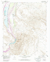
1952 Map of La Joya
USGS Topo · Published 1986About this map
The Rio Grande corridor in central New Mexico serves as the focal point for this mid-century survey, revealing a landscape defined by irrigation and transportation. The settlement of La Joya and the nearby La Joya (Siding) are oriented along the Atchison Topeka and Santa Fe railroad, which parallels the river valley. To the east, the vast Sevilleta Grant encompasses a network of arroyos and canyons, such as Palo Duro Canyon and Cibola Canyon, that drain the high desert towards the river.
Find a feature on this map
33 named features on this map. Tap any name to fly to it.
Don’t see what you’re looking for? This feature index may not catch every label — zoom into the map to look around manually.
Map Details
Editions of this 1952 La Joya Map
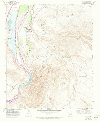
Other maps of this area

1906 · Socorro
USGS Topo · 1:62,500

1916 · La Joya
USGS Topo · 1:125,000

1952 · La Joya NW
USGS Topo · 1:24,000

1952 · San Anacia
USGS Topo · 1:24,000

1952 · Black Butte
USGS Topo · 1:24,000

1952 · La Joya
USGS Topo · 1:24,000

1952 · Becker SW
USGS Topo · 1:24,000

1952 · Abeytas
USGS Topo · 1:24,000

1954 · Socorro
USGS Topo · 1:250,000

1958 · Socorro
USGS Topo · 1:250,000