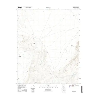
2013 Map of Becker SW
USGS Topo · Published 2013About this map
Canyon Mill and several other industrial sites define this high-desert landscape in Socorro County, reflecting a history of resource extraction and water management in a demanding environment. The terrain is deeply incised by drainages such as Salas Arroyo and Pascual Arroyo, which cut through canyons like Bootleg Canyon and Sepultura Canyon. The map reveals a distribution of specialized processing sites, including Red Mill, Tomasino Mill, and the specifically labeled Mine Shaft Mill. Isolated homesteads or landmarks like Gibbs Place sit alongside essential water infrastructure such as Test Well Tank and Cottonwood Tank, which were vital for sustaining operations and livestock in this arid portion of New Mexico. The geography is punctuated by distinctive landforms like Two Butte and the rugged depths of Cibola Canyon.
Find a feature on this map
19 named features on this map. Tap any name to fly to it.
Don’t see what you’re looking for? This feature index may not catch every label — zoom into the map to look around manually.
Map Details
Editions of this 2013 Becker SW Map
This is the sole edition of this map. No revisions or reprints were ever made.
Other maps of this area

1906 · Socorro
USGS Topo · 1:62,500

1916 · La Joya
USGS Topo · 1:125,000

1952 · Black Butte
USGS Topo · 1:24,000

1952 · La Joya
USGS Topo · 1:24,000

1952 · Becker SW
USGS Topo · 1:24,000

1952 · Becker
USGS Topo · 1:24,000

1952 · Abeytas
USGS Topo · 1:24,000

1952 · Cerro Montoso
USGS Topo · 1:24,000

1954 · Socorro
USGS Topo · 1:250,000

1958 · Socorro
USGS Topo · 1:250,000