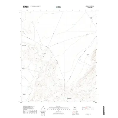
2020 Map of Becker SW
USGS Topo · Published 2020About this map
Canyon Mill and Red Mill anchor this arid industrial and ranching landscape in Socorro County, where water management is defined by a network of catchments including Middle Tank and Cottonwood Tank. The terrain is deeply incised by significant drainages such as Pascual Arroyo and Salas Arroyo, which navigate through complex landforms like Palo Duro Canyon and Sepultura Canyon.
Find a feature on this map
22 named features on this map. Tap any name to fly to it.
Don’t see what you’re looking for? This feature index may not catch every label — zoom into the map to look around manually.
Map Details
Editions of this 2020 Becker SW Map
This is the sole edition of this map. No revisions or reprints were ever made.
Other maps of this area

1906 · Socorro
USGS Topo · 1:62,500

1916 · La Joya
USGS Topo · 1:125,000

1952 · Black Butte
USGS Topo · 1:24,000

1952 · La Joya
USGS Topo · 1:24,000

1952 · Becker SW
USGS Topo · 1:24,000

1952 · Becker
USGS Topo · 1:24,000

1952 · Abeytas
USGS Topo · 1:24,000

1952 · Cerro Montoso
USGS Topo · 1:24,000

1954 · Socorro
USGS Topo · 1:250,000

1958 · Socorro
USGS Topo · 1:250,000