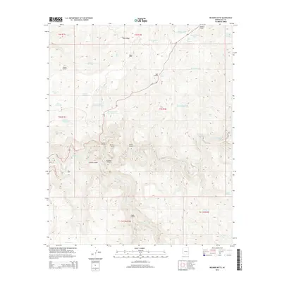
2014 Map of Beckers Butte
USGS Topo · Published 2014About this map
Beckers Butte stands as a prominent landmark in this Gila County terrain, overlooking the dramatic descent into the Salt River Canyon. The landscape is defined by its complex drainage network, where the Salt River is fed by numerous seasonal waterways including Sawmill Cr and Beaver Cr. This area shows a long history of water management for livestock and ranching, evidenced by the high density of named tanks and springs scattered across the high mesas and deep canyons. Notable examples include Flying V Spring, Bear Grass Tank, and Gila Tank. On the southern plateaus, deep cuts like Tanks Canyon and Walnut Canyon emphasize the erosive power of the region's geography. Transportation is limited to the winding path of Us-60 and the tribal route Bia-3, which navigate the elevation changes between Black Mesa and the river valley below.
Find a feature on this map
46 named features on this map. Tap any name to fly to it.
Don’t see what you’re looking for? This feature index may not catch every label — zoom into the map to look around manually.
Map Details
Editions of this 2014 Beckers Butte Map
This is the sole edition of this map. No revisions or reprints were ever made.
Other maps of this area

1922 · Chrysotile
USGS Topo · 1:125,000

1946 · Blue House Mtn
USGS Topo · 1:62,500

1951 · Blue House Mtn
USGS Topo · 1:62,500

1954 · Mesa
USGS Topo · 1:250,000

1957 · Mesa
USGS Topo · 1:250,000

1958 · Mesa
USGS Topo · 1:250,000

1960 · Mesa
USGS Topo · 1:250,000

1964 · Mesa
USGS Topo · 1:250,000

1966 · Brushy Canyon
USGS Topo · 1:24,000

1966 · Popcorn Canyon
USGS Topo · 1:24,000