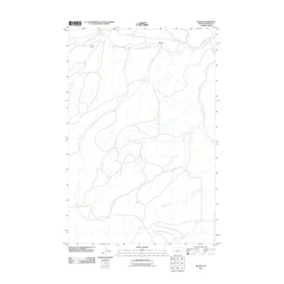
2011 Map of Becket
USGS Topo · Published 2011About this map
Becket sits in a high-plains landscape defined by a complex network of seasonal drainages and local roads. The terrain is marked by the distinct Rose Canyon in the northwest, while the primary watercourse, South Fork McDonald Creek, winds eastward across the northern portion of the quadrangle. Transport in this part of Fergus County relies on a few key thoroughfares, including Forest Grove Rd, Becket Rd, and Munger Ln, which connect the rural homesteads and ranches scattered between the hills.
Find a feature on this map
11 named features on this map. Tap any name to fly to it.
Don’t see what you’re looking for? This feature index may not catch every label — zoom into the map to look around manually.
Map Details
Editions of this 2011 Becket Map
This is the sole edition of this map. No revisions or reprints were ever made.
Other maps of this area

1889 · Big Snowy Mountain
USGS Topo · 1:250,000

1893 · Big Snowy Mountain
USGS Topo · 1:250,000

1941 · Judith Peak
USGS Topo · 1:62,500

1944 · Judith Peak
USGS Topo · 1:62,500

1954 · Roundup
USGS Topo · 1:250,000

1954 · Lewistown
USGS Topo · 1:250,000

1958 · Roundup
USGS Topo · 1:250,000

1959 · Lewistown
USGS Topo · 1:250,000

1970 · Forestgrove
USGS Topo · 1:24,000

1970 · South Bench
USGS Topo · 1:24,000