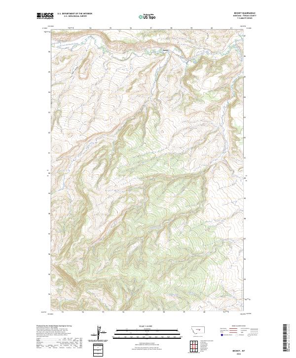
2024 Map of Becket
USGS Topo · Published 2024About this map
Becket sits along the northern edge of this Fergus County landscape, where the headwaters of the South Fork McDonald Creek emerge from the surrounding hills. This area is defined by a dense network of drainages and seasonal watercourses, including Athern Creek and Blacktail Creek, which carve through the high country. The terrain transition is most evident in Rose Canyon, a significant geographic feature in the northwest corner of the map.
Find a feature on this map
15 named features on this map. Tap any name to fly to it.
Don’t see what you’re looking for? This feature index may not catch every label — zoom into the map to look around manually.
Map Details
Editions of this 2024 Becket Map
This is the sole edition of this map. No revisions or reprints were ever made.
Other maps of this area

1889 · Big Snowy Mountain
USGS Topo · 1:250,000

1893 · Big Snowy Mountain
USGS Topo · 1:250,000

1941 · Judith Peak
USGS Topo · 1:62,500

1944 · Judith Peak
USGS Topo · 1:62,500

1954 · Roundup
USGS Topo · 1:250,000

1954 · Lewistown
USGS Topo · 1:250,000

1958 · Roundup
USGS Topo · 1:250,000

1959 · Lewistown
USGS Topo · 1:250,000

1970 · Forestgrove
USGS Topo · 1:24,000

1970 · South Bench
USGS Topo · 1:24,000