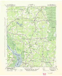
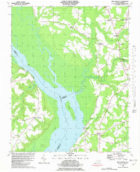
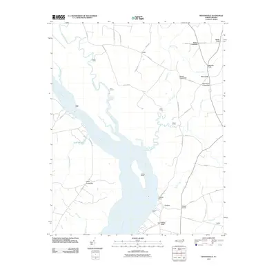
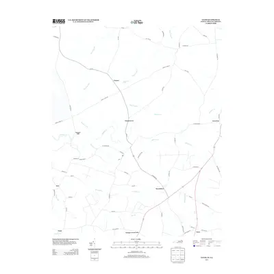
1940 Map of Beckford
USGS Topo · Published 1940About this map
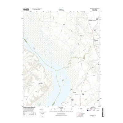
The Chowan River defines the western edge of this coastal plain landscape, where tidal creeks and dense swamplands like Dismal Swamp and Lassiter Swamp intersect with a network of early crossroads settlements. The 1940s economy of northeastern North Carolina is visible in the distribution of mill sites such as Merchants Millpond and Acorn Hill Mill Pond, as well as the transition from river-based transport to rail and road. Cannon Ferry still marks a vital river crossing near Holidays Island, while further inland, Beckford Junction and Hobbsville serve as hubs for the surrounding farmsteads. Local history researchers can trace numerous family-named junctions and forks, including Mitchels Fork, Kellogs Fork, and Powell Crossroads, which highlight the importance of these small communities in the social fabric of Gates County and Perquimans County during this era.
Find a feature on this map
73 named features on this map. Tap any name to fly to it.
Don’t see what you’re looking for? This feature index may not catch every label — zoom into the map to look around manually.
Map Details
Editions of this 1940 Beckford Map
2 editions found
Historical Maps of Sunbury Through Time
28 maps found

1906 Beckford
Gates County, NC
1907 Beckford
Gates County, NC

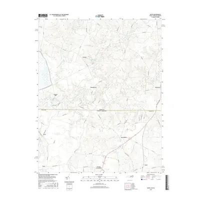
1940 Beckford
Gates County, NC
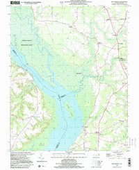
1967 Gates
Gates County, NC
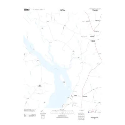
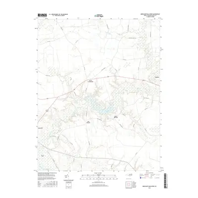
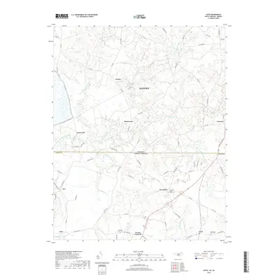
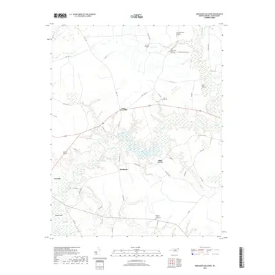
1981 Merchants Millpond
Gates County, NC
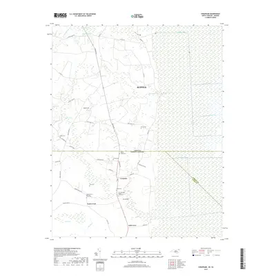
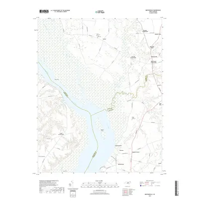
1982 Mintonsville
Gates County, NC
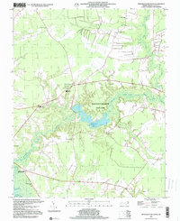
1997 Merchants Millpond
Gates County, NC
1997 Mintonsville
Gates County, NC
2010 Gates
Gates County, NC
2010 Mintonsville
Gates County, NC
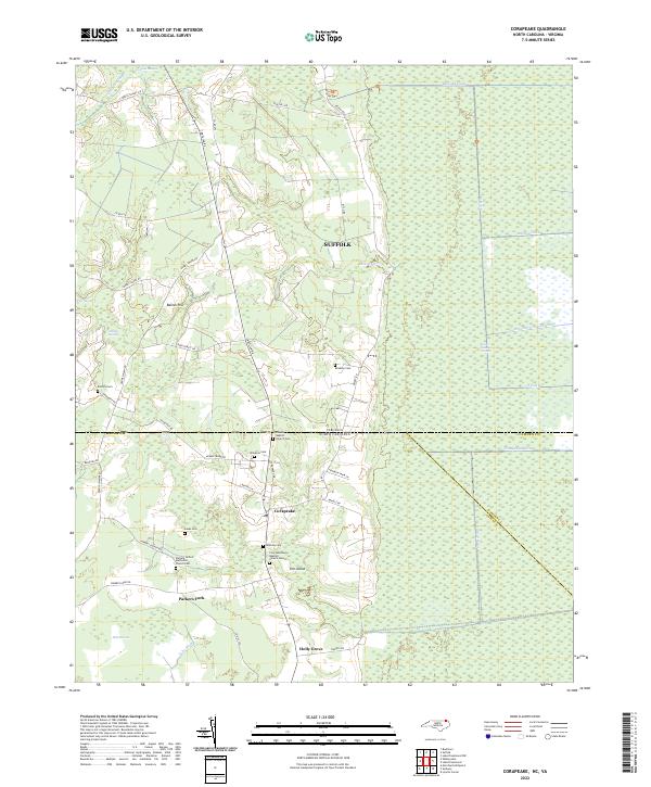
2011 Corapeake
Gates County, NC
2011 Merchants Millpond
Gates County, NC
2013 Corapeake
Gates County, NC
2013 Gates
Gates County, NC
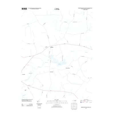
2013 Merchants Millpond
Gates County, NC
2013 Mintonsville
Gates County, NC
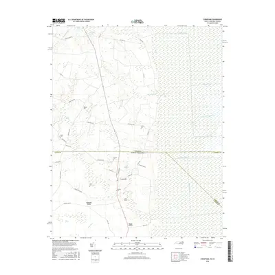
2016 Corapeake
Gates County, NC
2016 Gates
Gates County, NC
2016 Merchants Millpond
Gates County, NC
2016 Mintonsville
Gates County, NC
2019 Corapeake
Gates County, NC
2019 Gates
Gates County, NC
2019 Merchants Millpond
Gates County, NC
2019 Mintonsville
Gates County, NC
2022 Corapeake
Gates County, NC
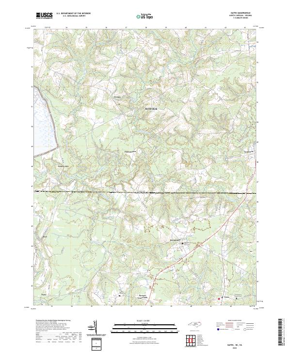
2022 Gates
Gates County, NC
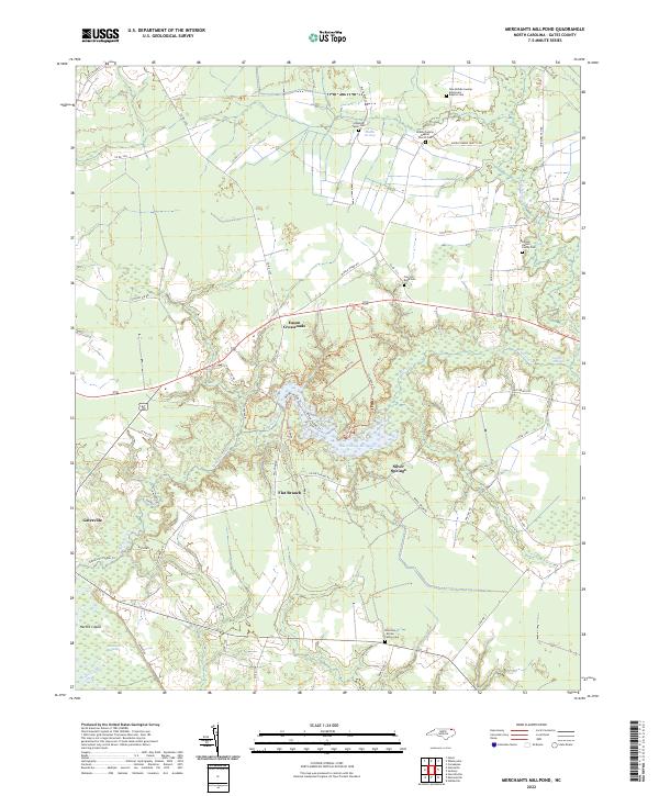
2022 Merchants Millpond
Gates County, NC
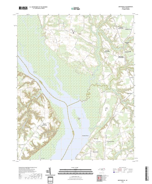
2022 Mintonsville
Gates County, NC