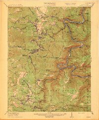
1913 Map of Beckley
USGS Topo · Published 1913About this map
The Piney River and New River canyons carve through the high plateaus of southern West Virginia, defining the industrial and social landscape of this 1913 survey. The topography is dominated by the complex coal-and-rail infrastructure that once linked numerous mountain settlements. Communities like Mt Hope, Glen Jean, and Oak Hill are connected by a dense web of branches from the Chesapeake and Ohio railroad, reflecting the peak of the regional coal era. The map traces the early development of Beckley and the county seat at Fayetteville, while numerous rural outposts like Dothan and Prosperity dot the ridges. Notable local landmarks for genealogists include a high concentration of country schools, such as Excelsior School, Garden Ground School, and Dry Hill School, which served the families living along the steep banks of Stretcher Neck and Bat Off Mountain.
Find a feature on this map
153 named features on this map. Tap any name to fly to it.
Don’t see what you’re looking for? This feature index may not catch every label — zoom into the map to look around manually.
Map Details
Editions of this 1913 Beckley Map
3 editions found

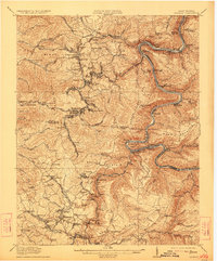
Other maps of this area

1887 · Hinton
USGS Topo · 1:125,000

1889 · Nicholas
USGS Topo · 1:125,000

1891 · Nicholas
USGS Topo · 1:125,000

1891 · Raleigh
USGS Topo · 1:125,000

1892 · Hinton
USGS Topo · 1:125,000

1897 · Kanawha Falls
USGS Topo · 1:125,000

1897 · Raleigh
USGS Topo · 1:125,000

1900 · Kanawha Falls
USGS Topo · 1:125,000

1901 · Nicholas
USGS Topo · 1:125,000

1901 · Kanawha Falls
USGS Topo · 1:125,000