
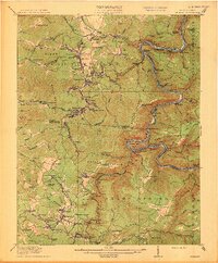
1913 Map of Beckley
USGS Topo · Published 1913About this map
The New River and its winding canyon dominate this 1911 survey of the West Virginia coalfields, where the Chesapeake and Ohio railroad clings to the riverbanks to serve a dense network of industrial settlements. This era represents the peak of the region's river-and-rail economy, with towns like Thurmond and Quinnimont serving as vital hubs for the surrounding mines. To the south, Beckley and Fayetteville emerge as established population centers, connected by a web of mountain ridges including Batoff Mountain and Peavine Ridge. The landscape is dotted with numerous local institutions, such as the Johnstown School and Silver Cliff School, reflecting a period of significant rural growth. Notable for genealogists are the exact locations of many post offices and stations, including Brooklyn Finlow PO and Lanark Sta, which once anchored these deep-valley communities.
Find a feature on this map
155 named features on this map. Tap any name to fly to it.
Don’t see what you’re looking for? This feature index may not catch every label — zoom into the map to look around manually.
Map Details
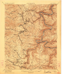
Editions of this 1913 Beckley Map
3 editions found
Other maps of this area

1887 · Hinton
USGS Topo · 1:125,000

1889 · Nicholas
USGS Topo · 1:125,000

1891 · Nicholas
USGS Topo · 1:125,000

1891 · Raleigh
USGS Topo · 1:125,000

1892 · Hinton
USGS Topo · 1:125,000

1897 · Kanawha Falls
USGS Topo · 1:125,000

1897 · Raleigh
USGS Topo · 1:125,000

1900 · Kanawha Falls
USGS Topo · 1:125,000

1901 · Nicholas
USGS Topo · 1:125,000

1901 · Kanawha Falls
USGS Topo · 1:125,000