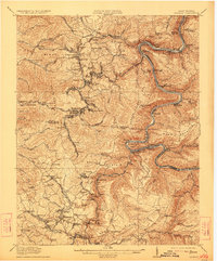
1929 Map of Beckley
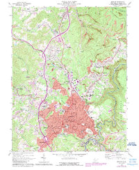
USGS Topo · Published 1954About this map
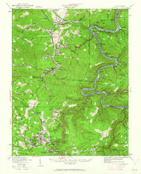
New River carves a deep path through the coalfields of southern West Virginia in this 1929 revision of a 1911 survey. The landscape is defined by the heavy presence of the Chesapeake And Ohio and Virginian railroads, which served a dense network of mining towns and settlements. Towns such as Thurmond and Glen Jean serve as critical junctions for the Kanawha Glen Jean And Eastern line, while remote riverside outposts like East Sewell and Brooklyn Finlow PO highlight the area's industrial dependence on the river corridor. Local education is represented by numerous rural institutions, including Miles Sch and Estuary School. The topography is dominated by massive landforms such as Mann Mountain and Batoff Mountain, providing a clear look at the terrain before modern development altered these tight-knit Appalachian communities.
Find a feature on this map
160 named features on this map. Tap any name to fly to it.
Don’t see what you’re looking for? This feature index may not catch every label — zoom into the map to look around manually.
Map Details
Editions of this 1929 Beckley Map
2 editions found
Historical Maps of Beckley Through Time
7 maps found