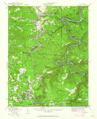
1929 Map of Beckley
USGS Topo · Published 1962About this map
New River gorge geometry dominates this 1929 cultural revision, where the river carves a deep, winding path past steep elevations like Sewell Mountain and Quinnimont Mountain. The landscape is a complex network of coal-era settlements and industrial infrastructure, with the Chesapeake and Ohio railway clinging to the riverbanks to serve hubs like Thurmond and East Sewell. The map illustrates the region's transition from remote mountain terrain to an intensive industrial corridor, evidenced by the density of short-line rail connections at Whipple Junction and the numerous company towns like Minden, Scarbro, and Glen Jean.
Find a feature on this map
159 named features on this map. Tap any name to fly to it.
Don’t see what you’re looking for? This feature index may not catch every label — zoom into the map to look around manually.
Map Details
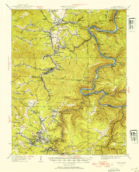
Editions of this 1929 Beckley Map
2 editions found
Other maps of this area

1887 · Hinton
USGS Topo · 1:125,000

1889 · Nicholas
USGS Topo · 1:125,000

1891 · Nicholas
USGS Topo · 1:125,000

1891 · Raleigh
USGS Topo · 1:125,000

1892 · Hinton
USGS Topo · 1:125,000

1897 · Kanawha Falls
USGS Topo · 1:125,000

1897 · Raleigh
USGS Topo · 1:125,000

1900 · Kanawha Falls
USGS Topo · 1:125,000

1901 · Nicholas
USGS Topo · 1:125,000

1901 · Kanawha Falls
USGS Topo · 1:125,000