
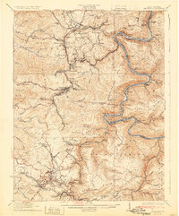
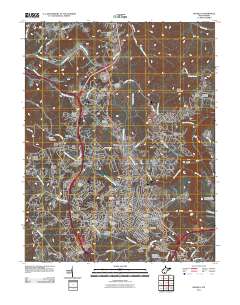
1932 Map of Beckley
USGS Topo · Published 1940About this map
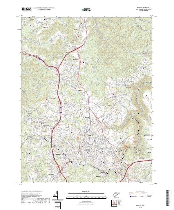
Peavine Ridge and the winding course of the New River dominate this landscape, illustrating the industrial and residential patterns of the West Virginia coalfields between the world wars. The heavy reliance on rail transport is evident in the path of the Chesapeake and Ohio railroad, which follows the river's deep incision through Stretcher Neck. Settlements like Oak Hill, Scarbro, and Glen Jean cluster along the ridges and narrow valleys, interconnected by a complex web of local roads and creek systems like Dunloup Creek. Numerous rural institutions are documented, including the Miles Sch and Lewis Williams Sch, serving the scattered communities. The terrain transitions from the high elevations of Sewell Mountain in the northeast to the dense collection of hollows near Kilsyth and Mt Hope, reflecting the era's concentrated extraction and transport infrastructure before modern highway expansion.
Find a feature on this map
148 named features on this map. Tap any name to fly to it.
Don’t see what you’re looking for? This feature index may not catch every label — zoom into the map to look around manually.
Map Details
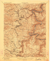
Editions of this 1932 Beckley Map
2 editions found
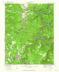
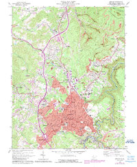
Historical Maps of Beckley Through Time
11 maps found

1911 Beckley
Raleigh County, WV
1913 Beckley
Raleigh County, WV
1929 Beckley
Raleigh County, WV
1932 Beckley
Raleigh County, WV
1969 Beckley
Raleigh County, WV

1982 Beckley
Raleigh County, WV
2011 Beckley
Raleigh County, WV
2014 Beckley
Raleigh County, WV
2016 Beckley
Raleigh County, WV
2019 Beckley
Raleigh County, WV
2023 Beckley
Raleigh County, WV