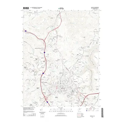
2014 Map of Beckley
USGS Topo · Published 2014About this map
Beckley and its neighboring communities in the West Virginia coalfields are shown here during a period of sustained infrastructure and residential expansion. The city is a hub for higher education and healthcare, anchored by Mtn State Univ and the Appalachian Bible Coll to the north in Bradley. The landscape is a network of developed ridges and stream valleys, with Piney Creek and Whitestick Creek winding through a terrain marked by extensive road networks including the Mountaineer Expy.
Find a feature on this map
245 named features on this map. Tap any name to fly to it.
Don’t see what you’re looking for? This feature index may not catch every label — zoom into the map to look around manually.
Map Details
Editions of this 2014 Beckley Map
This is the sole edition of this map. No revisions or reprints were ever made.
Other maps of this area

1891 · Raleigh
USGS Topo · 1:125,000

1897 · Raleigh
USGS Topo · 1:125,000

1902 · Raleigh
USGS Topo · 1:125,000

1911 · Marshes
USGS Topo · 1:48,000

1911 · Flattop
USGS Topo · 1:48,000

1911 · Beckley
USGS Topo · 1:48,000

1912 · Mullens
USGS Topo · 1:62,500

1913 · Beckley
USGS Topo · 1:62,500

1914 · Eccles
USGS Topo · 1:62,500

1914 · Flattop
USGS Topo · 1:62,500