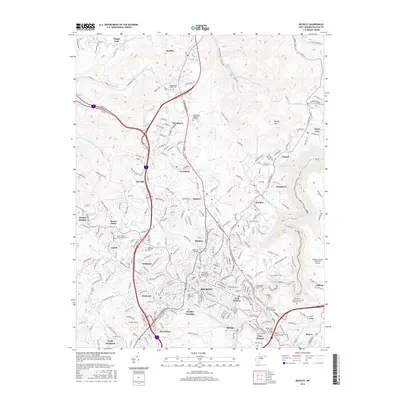
2016 Map of Beckley
USGS Topo · Published 2016About this map
Beckley serves as the hub for this mountain landscape, showing a dense network of suburban development and industrial infrastructure during the mid-2010s. The city is surrounded by a ring of established communities including Mabscott, East Beckley, and Beckley Junction, reflecting the area's growth as a regional center. Educational and civic anchors such as the Appalachian Bible Coll and New River Community and Technical Coll are prominent, alongside significant local landmarks like Raleigh County Memorial Airport.
Find a feature on this map
72 named features on this map. Tap any name to fly to it.
Don’t see what you’re looking for? This feature index may not catch every label — zoom into the map to look around manually.
Map Details
Editions of this 2016 Beckley Map
This is the sole edition of this map. No revisions or reprints were ever made.
Other maps of this area

1891 · Raleigh
USGS Topo · 1:125,000

1897 · Raleigh
USGS Topo · 1:125,000

1902 · Raleigh
USGS Topo · 1:125,000

1911 · Marshes
USGS Topo · 1:48,000

1911 · Flattop
USGS Topo · 1:48,000

1911 · Beckley
USGS Topo · 1:48,000

1912 · Mullens
USGS Topo · 1:62,500

1913 · Beckley
USGS Topo · 1:62,500

1914 · Eccles
USGS Topo · 1:62,500

1914 · Flattop
USGS Topo · 1:62,500