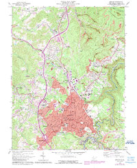
1969 Map of Beckley
USGS Topo · Published 1989About this map
The growing coal and transportation hub of Beckley anchors this 1969 survey, reflecting the complex landscape of late-twentieth-century Raleigh County. The city center is dense with institutions like Beckley College, the VA Hospital, and the Woodrow Wilson High School, while the surrounding hills are marked by the extensive footprint of the extractive industry. Numerous strip mines dominate the terrain to the east toward Stanaford and Lanark, contrasted by established residential communities and landmarks like the Exhibition Mine.
Find a feature on this map
77 named features on this map. Tap any name to fly to it.
Don’t see what you’re looking for? This feature index may not catch every label — zoom into the map to look around manually.
Map Details
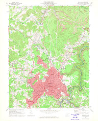
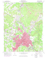
Editions of this 1969 Beckley Map
Other maps of this area

1891 · Raleigh
USGS Topo · 1:125,000

1897 · Raleigh
USGS Topo · 1:125,000

1902 · Raleigh
USGS Topo · 1:125,000

1911 · Marshes
USGS Topo · 1:48,000

1911 · Flattop
USGS Topo · 1:48,000

1911 · Beckley
USGS Topo · 1:48,000

1912 · Mullens
USGS Topo · 1:62,500

1913 · Beckley
USGS Topo · 1:62,500

1914 · Eccles
USGS Topo · 1:62,500

1914 · Flattop
USGS Topo · 1:62,500