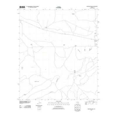
2010 Map of Beckwith Hills
USGS Topo · Published 2010About this map
Old Fort Pena Colorada Post Ranch stands as a focal point of this Brewster County landscape, marking a site of deep frontier significance southwest of the settlement of Marathon. This portion of the Trans-Pecos is defined by a sparse but resilient network of family-named ranching outposts including Decie Ranch, Arnold Ranch, and Hargus Ranch, connected by rugged tracks such as Arnold Ranch Rd.
Find a feature on this map
26 named features on this map. Tap any name to fly to it.
Don’t see what you’re looking for? This feature index may not catch every label — zoom into the map to look around manually.
Map Details
Editions of this 2010 Beckwith Hills Map
This is the sole edition of this map. No revisions or reprints were ever made.
Other maps of this area

1920 · Monument Spring
USGS Topo · 1:62,500

1920 · Marathon
USGS Topo · 1:62,500

1921 · Monument Spring
USGS Topo · 1:62,500

1921 · Marathon
USGS Topo · 1:62,500

1923 · Hess Canyon
USGS Topo · 1:62,500

1923 · Altuda
USGS Topo · 1:62,500

1954 · Fort Stockton
USGS Topo · 1:250,000

1958 · Fort Stockton
USGS Topo · 1:250,000

1973 · Fort Stockton
USGS Topo · 1:250,000
1983 · Dugout Mountain
USGS Topo · 1:24,000