
1958 Map of Beckwith Mountain
USGS Topo · Published 1960About this map
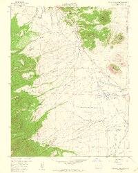
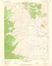
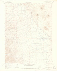
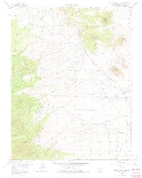
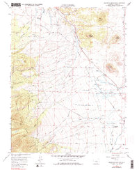
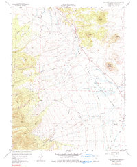
Wet Mountain Valley dominates this landscape, showing a complex network of agricultural irrigation and high-altitude ranching during the late 1950s. The settlement of Ula and the nearby Ula Cem represent early Custer County history, situated where the Prairie meets the rising slopes of Beckwith Mountain. Water management is central to the area's development, evidenced by extensive engineering such as the James Jarvis Swift Creek Ditch No 3 and the Ula Ditch, which divert Swift Creek to support valley floor operations.
Find a feature on this map
80 named features on this map. Tap any name to fly to it.
Don’t see what you’re looking for? This feature index may not catch every label — zoom into the map to look around manually.
Map Details
Editions of this 1958 Beckwith Mountain Map
7 editions found
Other maps of this area

1889 · Canon City
USGS Topo · 1:125,000

1892 · Canon City
USGS Topo · 1:125,000

1954 · Pueblo
USGS Topo · 1:250,000

1955 · Westcliffe
USGS Topo · 1:24,000

1957 · Pueblo
USGS Topo · 1:250,000

1957 · Aldrich Gulch
USGS Topo · 1:24,000

1958 · Pueblo
USGS Topo · 1:250,000

1959 · Electric Peak
USGS Topo · 1:62,500
1959 · Horn Peak
USGS Topo · 1:24,000

1959 · Royal Gorge
USGS Topo · 1:62,500