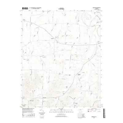
2016 Map of Bedford
USGS Topo · Published 2016About this map
The small community of Bedford serves as a central hub in this rural landscape south of the Duck River, characterized by a dense concentration of family cemeteries and established agricultural settlements. In the southern reach of the map, Richmond and Branchville anchor a region where the terrain transitions toward Davidson Hill, with drainage provided by the winding Sinking Creek. The presence of numerous burial grounds, such as Stephenson Cem and the Porter-Cortner Cem, offers significant detail for genealogical research, documenting the long-standing family ties to this portion of Bedford County. Aviation interest is noted at the Pleasant Grove Airpark near Pleasant Grove, while the surrounding road network, including John Pickle Rd and Gant Rd, reveals the enduring spatial organization of these Middle Tennessee communities.
Find a feature on this map
120 named features on this map. Tap any name to fly to it.
Don’t see what you’re looking for? This feature index may not catch every label — zoom into the map to look around manually.
Map Details
Editions of this 2016 Bedford Map
This is the sole edition of this map. No revisions or reprints were ever made.
Other maps of this area

1936 · Booneville
USGS Topo · 1:24,000

1936 · Farmington
USGS Topo · 1:24,000

1936 · Shelbyville
USGS Topo · 1:24,000

1936 · Belfast
USGS Topo · 1:24,000

1936 · Deason
USGS Topo · 1:24,000

1936 · Belleville
USGS Topo · 1:24,000

1936 · Petersburg
USGS Topo · 1:24,000

1936 · Unionville
USGS Topo · 1:24,000

1936 · Bedford
USGS Topo · 1:24,000

1944 · Shelbyville
USGS Topo · 1:100,000