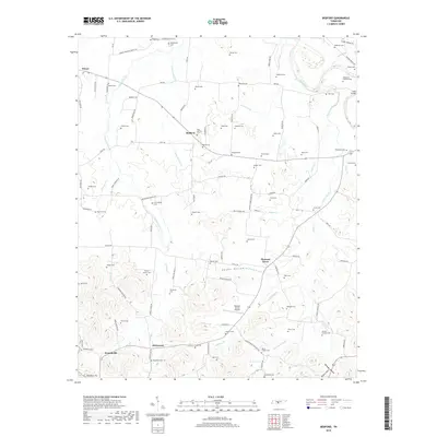
2019 Map of Bedford
USGS Topo · Published 2019About this map
The Duck River meanders across the northeast corner of this Bedford County landscape, where rural communities like Bedford, Pleasant Grove, and Wheel are defined by a dense network of family-named cemeteries and narrow creek valleys. The terrain transitions from the broader flats near Sinking Creek to the more dissected ridges of the south, where Davidson Hill and Renegar Hollow overlook the small settlement of Branchville.
Find a feature on this map
99 named features on this map. Tap any name to fly to it.
Don’t see what you’re looking for? This feature index may not catch every label — zoom into the map to look around manually.
Map Details
Editions of this 2019 Bedford Map
This is the sole edition of this map. No revisions or reprints were ever made.
Other maps of this area

1936 · Booneville
USGS Topo · 1:24,000

1936 · Farmington
USGS Topo · 1:24,000

1936 · Shelbyville
USGS Topo · 1:24,000

1936 · Belfast
USGS Topo · 1:24,000

1936 · Deason
USGS Topo · 1:24,000

1936 · Belleville
USGS Topo · 1:24,000

1936 · Petersburg
USGS Topo · 1:24,000

1936 · Unionville
USGS Topo · 1:24,000

1936 · Bedford
USGS Topo · 1:24,000

1944 · Shelbyville
USGS Topo · 1:100,000