
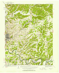
1934 Map of Bedford
USGS Topo · Published 1934About this map
Indiana's limestone industry anchors this mid-1930s landscape, with the massive Tanning Quarry of Indiana Limestone Co and Peerless Quarry marking the region's economic heartbeat near the Second Principal Meridian. The survey captures a complex network of rural institutions, from the County Farm near Bedford to the numerous country houses of worship like Mt Pleasant Ch and Dixons Chapel.
Find a feature on this map
56 named features on this map. Tap any name to fly to it.
Don’t see what you’re looking for? This feature index may not catch every label — zoom into the map to look around manually.
Map Details
Editions of this 1934 Bedford Map
2 editions found
Other maps of this area

1908 · Bloomington
USGS Topo · 1:48,000

1910 · Bloomington
USGS Topo · 1:62,500

1935 · Oolitic
USGS Topo · 1:48,000

1937 · Bedford
USGS Topo · 1:62,500

1942 · Franklin
USGS Topo · 1:125,000

1942 · Oolitic
USGS Topo · 1:62,500

1947 · Allens Creek
USGS Topo · 1:24,000

1947 · Elkinsville
USGS Topo · 1:24,000

1949 · Georgia
USGS Topo · 1:24,000

1950 · Mitchell
USGS Topo · 1:24,000