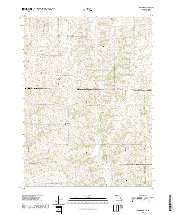
2021 Map of Bedford SW
USGS Topo · Published 2021About this map
Ross Township Cem and Forest Grove Cem sit at the northern edge of this rural landscape where the border between Iowa and Missouri divides the drainage of Norvey Cr and Honey Cr. The terrain is defined by a dense network of small tributaries and branches, such as Wolf Pen Br and Fox Br, which feed into larger systems like Brushy Cr and Mozingo Cr. Historically significant for genealogists, several small burial grounds are scattered throughout the sections, including the Kemery Cem, New Hope Cem, and Luteston Cem. The road network follows a rigid section-line grid, typical of the Midwestern plains, with State Hwy E and Noble Rd providing north-south transit across the state line near Allen Lake.
Find a feature on this map
47 named features on this map. Tap any name to fly to it.
Don’t see what you’re looking for? This feature index may not catch every label — zoom into the map to look around manually.
Map Details
Editions of this 2021 Bedford SW Map
This is the sole edition of this map. No revisions or reprints were ever made.
Historical Maps of Iowa Through Time
15 maps found
1980 Hopkins SW
Nodaway County, MO
1981 Skidmore NW
Nodaway County, MO
1984 Bolckow NW
Nodaway County, MO
1984 Maryville West
Nodaway County, MO
1985 Maryville East
Nodaway County, MO
1985 Parnell West
Nodaway County, MO
1985 Wilcox
Nodaway County, MO
2021 Bedford SW
Nodaway County, MO
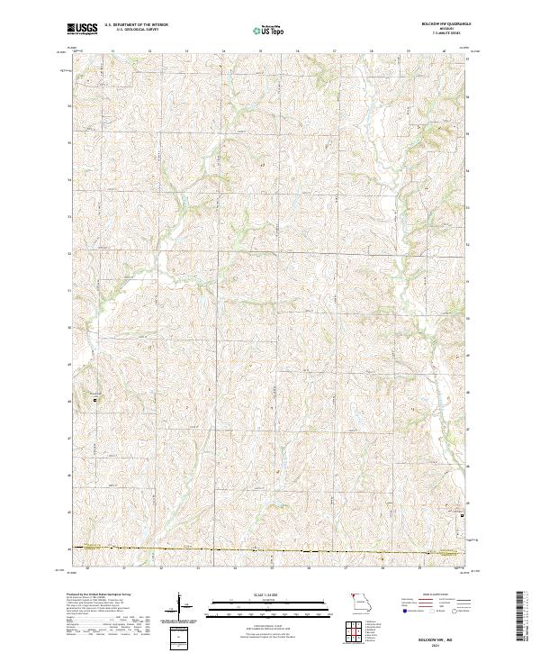
2021 Bolckow NW
Nodaway County, MO
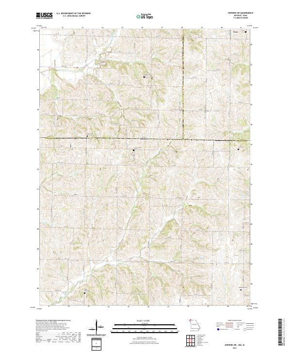
2021 Hopkins SW
Nodaway County, MO
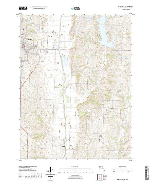
2021 Maryville East
Nodaway County, MO
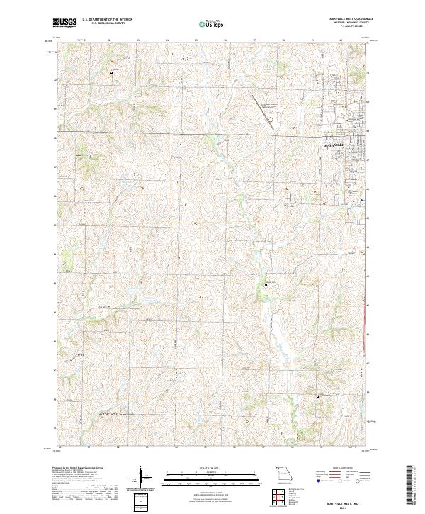
2021 Maryville West
Nodaway County, MO
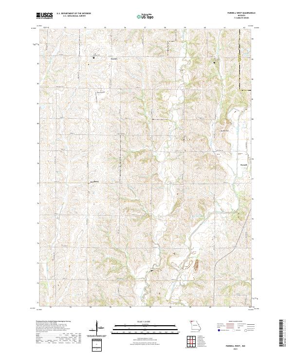
2021 Parnell West
Nodaway County, MO
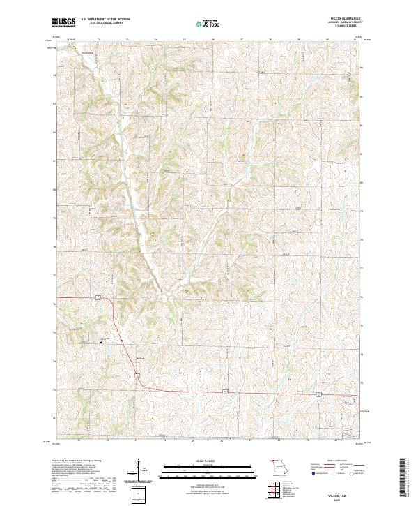
2021 Wilcox
Nodaway County, MO
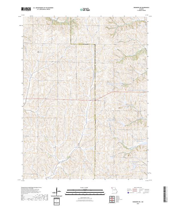
2023 Skidmore NW
Nodaway County, MO
Featured Locations
- Nodaway County, MO
- Hopkins Township, MO
- Independence Township, MO
- Union Township, MO
- Allison, Independence Township