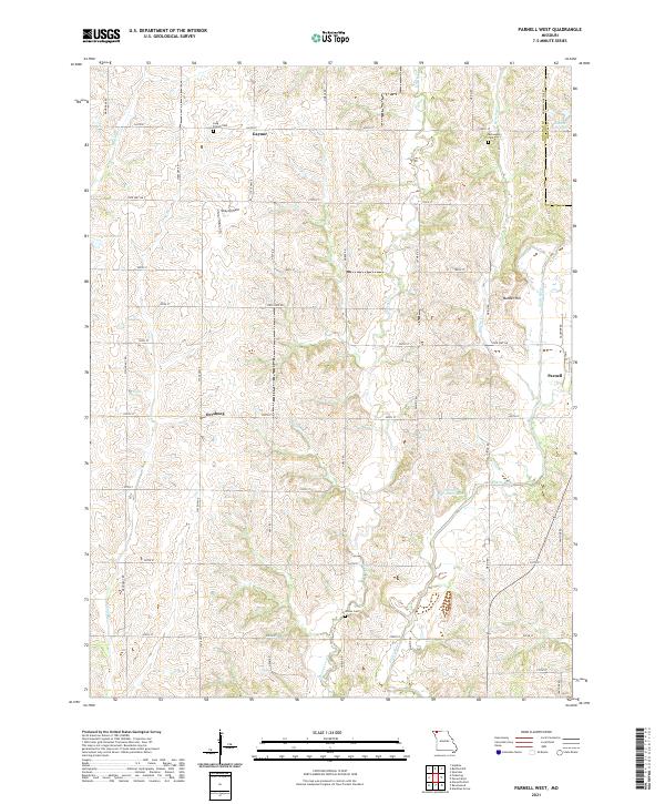
2021 Map of Parnell West
USGS Topo · Published 2021About this map
Gaynor and Orrsburg anchor this rural landscape in Nodaway County, characterized by a dense network of sectional roads and meandering creek beds. The drainage patterns of Honey Cr and Mozingo Cr dictate the local topography, carving through the agricultural terrain toward the Platte River on the eastern edge. Local genealogy is well-represented by several family and community burial sites, including Long Branch Cem and McLaughlin Cem in the north and Wilcox Cem to the south.
Find a feature on this map
41 named features on this map. Tap any name to fly to it.
Don’t see what you’re looking for? This feature index may not catch every label — zoom into the map to look around manually.
Map Details
Editions of this 2021 Parnell West Map
This is the sole edition of this map. No revisions or reprints were ever made.
Other maps of this area

1940 · Bedford
USGS Topo · 1:62,500

1940 · New Market
USGS Topo · 1:62,500

1940 · Parnell
USGS Topo · 1:62,500

1943 · Bedford
USGS Topo · 1:62,500

1943 · Parnell
USGS Topo · 1:62,500

1943 · Maryville
USGS Topo · 1:62,500

1943 · New Market
USGS Topo · 1:62,500

1955 · Nebraska City
USGS Topo · 1:250,000

1957 · Nebraska City
USGS Topo · 1:250,000

1958 · Nebraska City
USGS Topo · 1:250,000