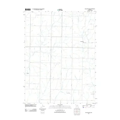
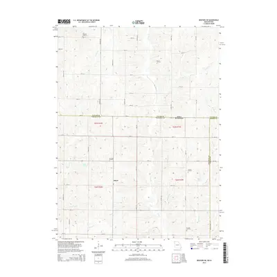
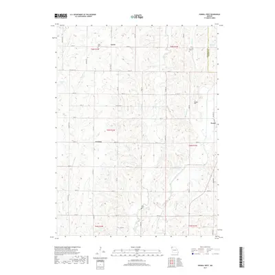
1985 Map of Parnell West
USGS Topo · Published 1985About this map
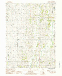
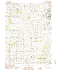
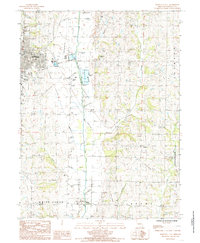
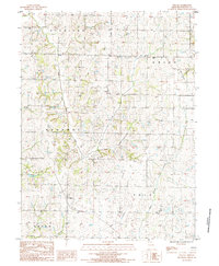
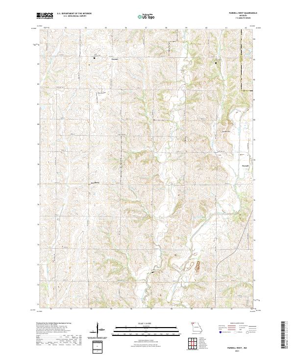
Gaynor and Orrsburg anchor the agricultural landscape of Nodaway County in the mid-1980s, revealing a rural settlement pattern defined by small town centers and dispersed farmsteads. The eastern edge of the quadrangle is marked by the Platte River, which is fed by numerous tributaries including Honey Creek and Brushy Creek. The land is divided into the civil townships of Independence and Jackson, with the Nodaway and Worth County line running along the northeastern corner near Union township. Industrial and recreational footprints are evident at the Rock Quarry and the Keever Bridge Acess Area, while modern infrastructure is represented by a Radio Tower and Parnell on the eastern border. This survey details a transition from the traditional creek-side drainage of Mozingo Creek and Long Branch to the flatter river bottomlands.
Find a feature on this map
19 named features on this map. Tap any name to fly to it.
Don’t see what you’re looking for? This feature index may not catch every label — zoom into the map to look around manually.
Map Details
Editions of this 1985 Parnell West Map
This is the sole edition of this map. No revisions or reprints were ever made.
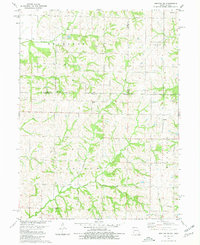
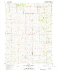
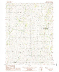
Historical Maps of Parnell Through Time
42 maps found
1980 Hopkins SW
Nodaway County, MO
1981 Skidmore NW
Nodaway County, MO
1984 Bolckow NW
Nodaway County, MO
1984 Maryville West
Nodaway County, MO
1985 Maryville East
Nodaway County, MO
1985 Parnell West
Nodaway County, MO
1985 Wilcox
Nodaway County, MO

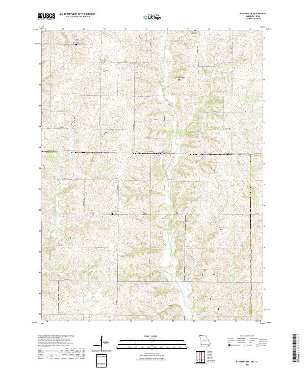
2010 Bedford SW
Nodaway County, MO

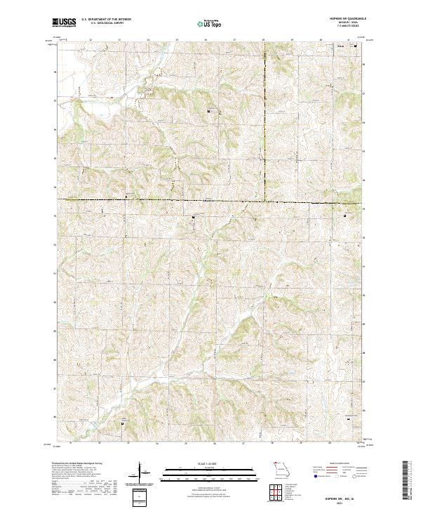
2010 Hopkins SW
Nodaway County, MO
2011 Bedford SW
Nodaway County, MO
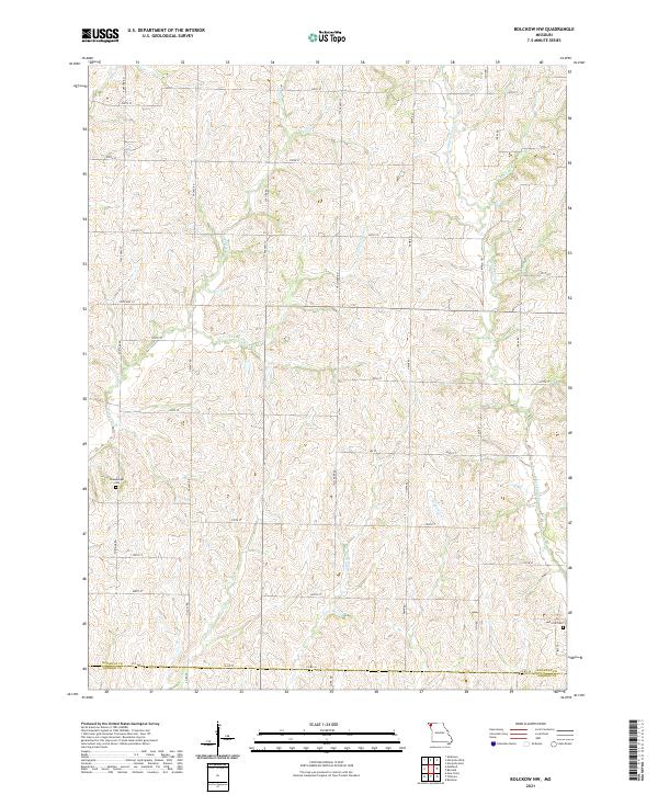
2011 Bolckow NW
Nodaway County, MO

2011 Hopkins SW
Nodaway County, MO

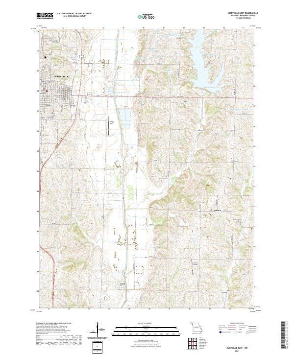
2011 Maryville East
Nodaway County, MO

2011 Maryville West
Nodaway County, MO
2011 Parnell West
Nodaway County, MO
2011 Wilcox
Nodaway County, MO
2012 Skidmore NW
Nodaway County, MO
2014 Bedford SW
Nodaway County, MO

2014 Bolckow NW
Nodaway County, MO

2014 Hopkins SW
Nodaway County, MO

2014 Maryville East
Nodaway County, MO

2014 Maryville West
Nodaway County, MO
2014 Parnell West
Nodaway County, MO

2014 Skidmore NW
Nodaway County, MO
2014 Wilcox
Nodaway County, MO
2017 Bedford SW
Nodaway County, MO
2017 Bolckow NW
Nodaway County, MO

2017 Hopkins SW
Nodaway County, MO

2017 Maryville East
Nodaway County, MO

2017 Maryville West
Nodaway County, MO
2017 Parnell West
Nodaway County, MO
2017 Skidmore NW
Nodaway County, MO
2017 Wilcox
Nodaway County, MO
2021 Bedford SW
Nodaway County, MO
2021 Bolckow NW
Nodaway County, MO
2021 Hopkins SW
Nodaway County, MO
2021 Maryville East
Nodaway County, MO
2021 Maryville West
Nodaway County, MO
2021 Parnell West
Nodaway County, MO

2021 Skidmore NW
Nodaway County, MO
2021 Wilcox
Nodaway County, MO
2023 Skidmore NW
Nodaway County, MO
Featured Locations
- Jackson Township, MO
- Union Township, MO
- Orrsburg, Independence Township
- Parnell, Independence Township
- Gaynor, Independence Township