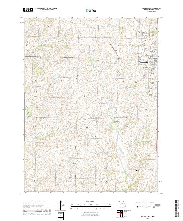
2021 Map of Maryville West
USGS Topo · Published 2021About this map
Northwest Missouri State University anchors the eastern edge of this landscape, reflecting its role as a regional educational hub near the city of Maryville. The surrounding terrain is characterized by a drainage network of creeks and small impoundments like Shelton Lake and Houston Lake, which feed into larger watercourses such as White Cloud Cr and Florida Cr. This rural-academic interface is further marked by essential infrastructure, including the Northwest Missouri Regional Airport and Northwest Technical School. Local genealogy and land use history are preserved in several family and community burial grounds, such as Cain Cem in the north and Morgan Cem further south. The map documents the persistent agricultural grid of Nodaway County, where roads like Galaxy Rd and Glacier Rd divide the rolling Missouri plains.
Find a feature on this map
73 named features on this map. Tap any name to fly to it.
Don’t see what you’re looking for? This feature index may not catch every label — zoom into the map to look around manually.
Map Details
Editions of this 2021 Maryville West Map
This is the sole edition of this map. No revisions or reprints were ever made.
Other maps of this area

1926 · Maitland
USGS Topo · 1:62,500

1927 · Bolckow
USGS Topo · 1:62,500

1939 · Skidmore
USGS Topo · 1:62,500

1941 · Skidmore
USGS Topo · 1:62,500

1942 · Skidmore
USGS Topo · 1:62,500

1943 · Maryville
USGS Topo · 1:62,500

1945 · Bolckow
USGS Topo · 1:62,500

1955 · Nebraska City
USGS Topo · 1:250,000

1957 · Nebraska City
USGS Topo · 1:250,000

1958 · Nebraska City
USGS Topo · 1:250,000