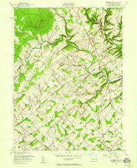
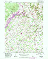
1957 Map of Bedminster
USGS Topo · Published 1958About this map
Haycock Mtn dominates the northern skyline of this Bucks County landscape, situated within the protected bounds of State Game Lands No 157. The surrounding terrain is defined by the winding course of Tohickon Creek and its numerous tributaries, including Mink Run and Wolf Run, which carve through the townships of Nockamixon and Bedminster.
Find a feature on this map
43 named features on this map. Tap any name to fly to it.
Don’t see what you’re looking for? This feature index may not catch every label — zoom into the map to look around manually.
Map Details
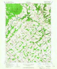
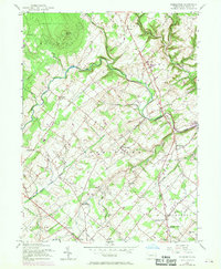
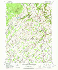
Editions of this 1957 Bedminster Map
5 editions found
Other maps of this area

1888 · Quakertown
USGS Topo · 1:62,500

1890 · Easton
USGS Topo · 1:62,500

1890 · Doylestown
USGS Topo · 1:62,500

1890 · Quakertown
USGS Topo · 1:62,500

1891 · Easton
USGS Topo · 1:62,500

1891 · Doylestown
USGS Topo · 1:62,500

1894 · Allentown
USGS Topo · 1:62,500

1894 · Quakertown
USGS Topo · 1:62,500

1932 · Easton
USGS Topo · 1:62,500

1939 · Allentown
USGS Topo · 1:62,500
Featured Places
- Hilltown Township, PA
- Bedminster Township, PA
- Tinicum Township, PA
- Haycock Township, PA
- Irish Meeting House, Bedminster Township