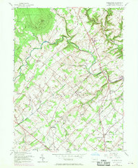
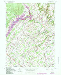
1957 Map of Bedminster
USGS Topo · Published 1969About this map
Haycock Mtn stands as a prominent landmark in the northern reach of this Bucks County landscape, overlooking the winding path of Tohickon Creek. The area is defined by a dense network of small colonial-era settlements and crossroads, including Bedminster, Pipersville, and Kellers Church. This 1950s documentation, with later revisions, shows a rural community transitioning as early infrastructure like a major Pipeline began to cross the traditional farmsteads and woodlots. Local history and genealogy interest is found in the scattered rural institutions such as the Trish Meeting House and the Plumstead Christian Day Sch. The map reveals how the terrain, characterized by features like Clay Ridge, dictated the placement of early routes such as Dark Hollow Road and Hellers Church Road, which still follow the contours of the numerous runs and creeks that feed into the Perkiomen and Delaware watersheds.
Find a feature on this map
42 named features on this map. Tap any name to fly to it.
Don’t see what you’re looking for? This feature index may not catch every label — zoom into the map to look around manually.
Map Details
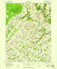
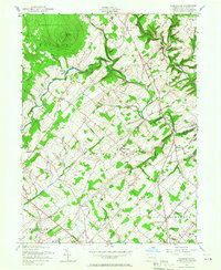
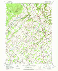
Editions of this 1957 Bedminster Map
5 editions found
Other maps of this area

1888 · Quakertown
USGS Topo · 1:62,500

1890 · Easton
USGS Topo · 1:62,500

1890 · Doylestown
USGS Topo · 1:62,500

1890 · Quakertown
USGS Topo · 1:62,500

1891 · Easton
USGS Topo · 1:62,500

1891 · Doylestown
USGS Topo · 1:62,500

1894 · Allentown
USGS Topo · 1:62,500

1894 · Quakertown
USGS Topo · 1:62,500

1932 · Easton
USGS Topo · 1:62,500

1939 · Allentown
USGS Topo · 1:62,500
Featured Places
- Hilltown Township, PA
- Bedminster Township, PA
- Tinicum Township, PA
- Haycock Township, PA
- Irish Meeting House, Bedminster Township