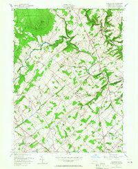
1957 Map of Bedminster
USGS Topo · Published 1966About this map
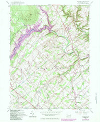
Tohickon Creek meanders through the heart of northern Bucks County, carving a valley that separates the rural townships of Nockamixon and Bedminster. In the late 1950s, this landscape remained largely defined by its colonial-era foundations and agrarian pace. The map captures a high density of small-scale educational and spiritual centers, from the Irish Meeting House in the south to the Clay Ridge Sch near the northern boundary.
Find a feature on this map
42 named features on this map. Tap any name to fly to it.
Don’t see what you’re looking for? This feature index may not catch every label — zoom into the map to look around manually.
Map Details
Editions of this 1957 Bedminster Map
5 editions found
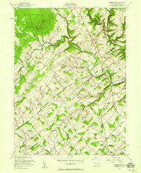
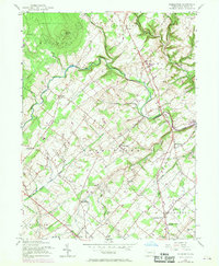
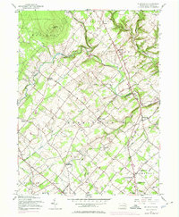
Other maps of this area

1888 · Quakertown
USGS Topo · 1:62,500

1890 · Easton
USGS Topo · 1:62,500

1890 · Doylestown
USGS Topo · 1:62,500

1890 · Quakertown
USGS Topo · 1:62,500

1891 · Easton
USGS Topo · 1:62,500

1891 · Doylestown
USGS Topo · 1:62,500

1894 · Allentown
USGS Topo · 1:62,500

1894 · Quakertown
USGS Topo · 1:62,500

1932 · Easton
USGS Topo · 1:62,500

1939 · Allentown
USGS Topo · 1:62,500
Featured Places
- Hilltown Township, PA
- Bedminster Township, PA
- Tinicum Township, PA
- Haycock Township, PA
- Irish Meeting House, Bedminster Township