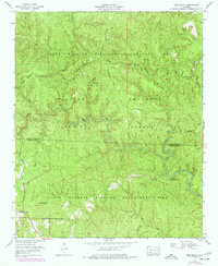
1960 Map of Bee Branch
USGS Topo · Published 1977About this map
William B Bankhead National Forest defines the dense woodland character of this terrain along the border of Lawrence and Winston counties. The map captures a landscape defined by the intricate drainages of the Sipsey Fork and its numerous tributaries, such as Braziel Creek and Thompson Creek. Significant local history is preserved in the remote family and community sites scattered across the ridges, including Wolfpen Cemetery and Johnson Cemetery.
Find a feature on this map
35 named features on this map. Tap any name to fly to it.
Don’t see what you’re looking for? This feature index may not catch every label — zoom into the map to look around manually.
Map Details
Editions of this 1960 Bee Branch Map
4 editions found
Other maps of this area

1935 · Moulton
USGS Topo · 1:24,000

1936 · Newburg
USGS Topo · 1:24,000

1936 · Delmar
USGS Topo · 1:24,000

1936 · Kinlock Spring
USGS Topo · 1:24,000

1936 · Moulton
USGS Topo · 1:48,000

1936 · Landersville
USGS Topo · 1:24,000

1940 · Mt Hope
USGS Topo · 1:62,500
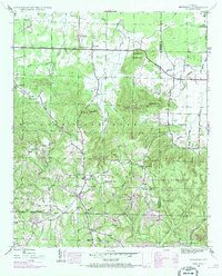
1945 · Newburg
USGS Topo · 1:24,000
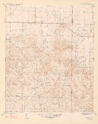
1947 · Newburg
USGS Topo · 1:24,000

1947 · Kinlock Spring
USGS Topo · 1:24,000