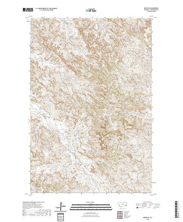
2024 Map of Beebe SW
USGS Topo · Published 2024About this map
Jack Creek Divide dominates the high ground in this Custer County landscape, where complex drainage networks carve into the Montana plains. The topography is defined by numerous intermittent watercourses that branch out from the divide, including Nelson Creek, Prat Creek, and Jim Creek to the north, and Rough Creek and Cabin Creek to the south. In the southwestern corner, Red Butte serves as a prominent navigational landmark near the headwaters of Butte Creek. This 2024 survey reflects the modern configuration of public land sections within Townships 3 and 4 North, Ranges 48 and 49 East. The lack of concentrated settlements highlights the area's enduring character as open range and ranch land, with transportation limited to a sparse network of local roads and 4WD tracks that follow the natural contours of the creeks and ridges.
Find a feature on this map
18 named features on this map. Tap any name to fly to it.
Don’t see what you’re looking for? This feature index may not catch every label — zoom into the map to look around manually.
Map Details
Editions of this 2024 Beebe SW Map
This is the sole edition of this map. No revisions or reprints were ever made.
Other maps of this area

1953 · Miles City
USGS Topo · 1:250,000

1954 · Ekalaka
USGS Topo · 1:250,000

1956 · Ekalaka
USGS Topo · 1:250,000

1957 · Miles City
USGS Topo · 1:250,000

1958 · Miles City
USGS Topo · 1:250,000

1958 · Ekalaka
USGS Topo · 1:250,000

1965 · Ekalaka
USGS Topo · 1:250,000

1969 · Horse Creek
USGS Topo · 1:24,000

1969 · Circle L Creek
USGS Topo · 1:24,000

1969 · First Creek
USGS Topo · 1:24,000