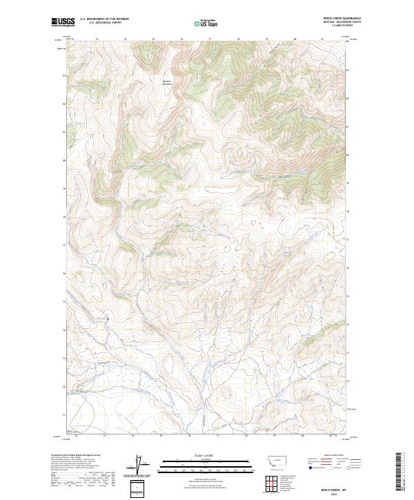
2024 Map of Beech Creek
USGS Topo · Published 2024About this map
The Blacktail Mountains dominate this high-elevation portion of Beaverhead County, defined by a complex drainage system that feeds the surrounding Montana valleys. Waterways such as Long Creek, Divide Creek, and Pistol Creek carve through the mountain slopes, illustrating the natural water distribution that has shaped land use in this region. This landscape is a patchwork of public and private interests, evidenced by the grid of townships including t10s r8w and t11s r8w, which organize the territory for ranching and resource management.
Find a feature on this map
21 named features on this map. Tap any name to fly to it.
Don’t see what you’re looking for? This feature index may not catch every label — zoom into the map to look around manually.
Map Details
Editions of this 2024 Beech Creek Map
This is the sole edition of this map. No revisions or reprints were ever made.
Other maps of this area

1893 · Dillon
USGS Topo · 1:250,000

1952 · Gallagher Mountain
USGS Topo · 1:24,000

1955 · Dubois
USGS Topo · 1:250,000

1955 · Dillon
USGS Topo · 1:250,000

1957 · Dillon
USGS Topo · 1:250,000

1958 · Dubois
USGS Topo · 1:250,000

1958 · Dillon
USGS Topo · 1:250,000

1961 · Ashbough Canyon
USGS Topo · 1:24,000

1961 · Elk Gulch
USGS Topo · 1:24,000

1962 · Dillon
USGS Topo · 1:250,000