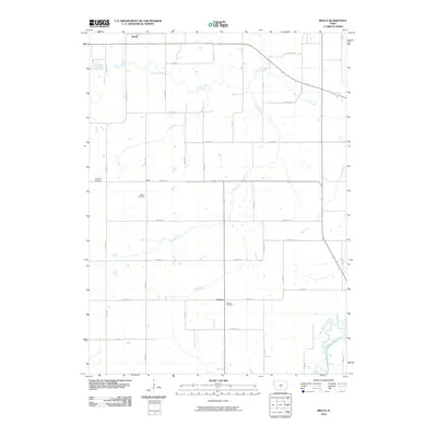
2010 Map of Beech
USGS Topo · Published 2010About this map
Beech sits at the northern edge of this Marion County landscape, part of a rural network of small settlements and agrarian homesteads. The terrain is defined by a dense system of waterways, most notably the meandering paths of Coon Creek, Coal Creek, and Fly Creek, which carve through the Iowa countryside. Further south, the map reveals the small clusters of Motor and Caloma, each anchored by historical burial grounds such as Motor Cemetery and Coloma Cemetery.
Find a feature on this map
41 named features on this map. Tap any name to fly to it.
Don’t see what you’re looking for? This feature index may not catch every label — zoom into the map to look around manually.
Map Details
Editions of this 2010 Beech Map
This is the sole edition of this map. No revisions or reprints were ever made.
Other maps of this area

1909 · Knoxville
USGS Topo · 1:62,500

1910 · Milo
USGS Topo · 1:62,500

1912 · Knoxville
USGS Topo · 1:62,500

1918 · Chariton
USGS Topo · 1:62,500

1924 · Melcher
USGS Topo · 1:62,500

1954 · Des Moines
USGS Topo · 1:250,000

1956 · Des Moines
USGS Topo · 1:250,000

1957 · Des Moines
USGS Topo · 1:250,000

1965 · Pleasantville
USGS Topo · 1:24,000

1965 · Milo
USGS Topo · 1:24,000
Featured Places
- Pleasantville, IA
- Franklin Township, IA
- Union Township, IA
- Belmont Township, IA
- Pleasant Grove Township, IA