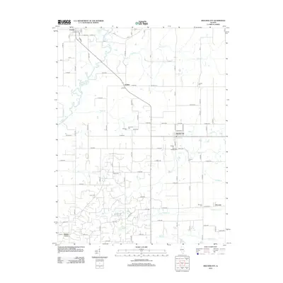
2012 Map of Beecher City
USGS Topo · Published 2012About this map
Beecher City and Cowden anchor this 2012 survey of the Illinois interior, where a network of township roads defines a landscape of agricultural tradition and energy extraction. The southern portion of the map is dominated by the Loudon Oil Field, reflecting the area's history as a significant petroleum producer in the Illinois Basin. This industrial footprint is interspersed with rural settlements like Holliday and Moccasin, alongside numerous small family and community burial grounds such as Hubbartt Cem, Bob Doane Cem, and Tipsword Cem.
Find a feature on this map
96 named features on this map. Tap any name to fly to it.
Don’t see what you’re looking for? This feature index may not catch every label — zoom into the map to look around manually.
Map Details
Editions of this 2012 Beecher City Map
This is the sole edition of this map. No revisions or reprints were ever made.
Other maps of this area

1941 · St. Elmo
USGS Topo · 1:62,500

1942 · Shelbyville
USGS Topo · 1:62,500

1945 · St. Elmo
USGS Topo · 1:62,500

1946 · Shelbyville
USGS Topo · 1:62,500

1947 · Stewardson
USGS Topo · 1:62,500

1949 · Stewardson
USGS Topo · 1:62,500

1950 · Effingham
USGS Topo · 1:62,500

1951 · Effingham
USGS Topo · 1:62,500

1958 · Decatur
USGS Topo · 1:250,000

1961 · Decatur
USGS Topo · 1:250,000