
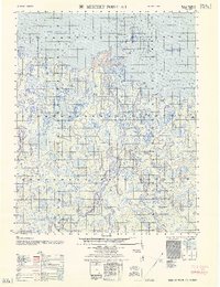
1962 Map of Beechey Point B-2
USGS Topo · Published 1962About this map
The Sagavanirktok River Delta dominates the southern reaches of this mid-century survey, where the river's complex braided channels meet the icy waters of the Beaufort Sea. This 1962 edition, compiled from 1950s photogrammetric data and coastal hydrography, provides a clear view of the shifting shoreline and barrier islands before the major industrial developments of later decades. The intricate relationship between land and sea is evident in the sprawling mudflats of Foggy Island Bay and the isolated geography of Cross Island and Dinkum Sands.
Find a feature on this map
10 named features on this map. Tap any name to fly to it.
Don’t see what you’re looking for? This feature index may not catch every label — zoom into the map to look around manually.
Map Details
Editions of this 1962 Beechey Point B-2 Map
This is the sole edition of this map. No revisions or reprints were ever made.
Other maps of this area

1951 · Beechey Point
USGS Topo · 1:250,000

1955 · Beechey Point
USGS Topo · 1:250,000

1955 · Beechey Point B-2
USGS Topo · 1:63,360

1955 · Beechey Point B-1
USGS Topo · 1:63,360

1955 · Beechey Point A-1
USGS Topo · 1:63,360

1955 · Beechey Point A-2
USGS Topo · 1:63,360

1955 · Beechey Point A-3
USGS Topo · 1:63,360

1955 · Beechey Point B-3
USGS Topo · 1:63,360

1960 · Beechey Point
USGS Topo · 1:250,000
1962 · Beechey Point A-1
USGS Topo · 1:50,000