
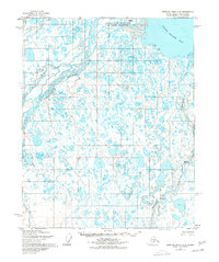
1955 Map of Beechey Point A-2
USGS Topo · Published 1967About this map
The Sagavanirktok River Delta dominates this mid-1950s landscape, where complex braided channels meet the Arctic waters of Foggy Island Bay. This remote section of the North Slope, mapped by the Army Map Service, illustrates a vast network of thaw lakes and coastal wetlands before the era of intensive resource development. The Sagavanirktok River and its Main Channel flow north toward the Beaufort Sea, while the Kadleroshilik River carves its own path through the tundra to the east. A lone Winter Trail provides the only evidence of overland passage, reflecting the seasonal nature of movement in this environment where land and water shift with the freeze and thaw.
Find a feature on this map
6 named features on this map. Tap any name to fly to it.
Don’t see what you’re looking for? This feature index may not catch every label — zoom into the map to look around manually.
Map Details
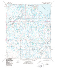
Editions of this 1955 Beechey Point A-2 Map
3 editions found
Other maps of this area

1951 · Beechey Point
USGS Topo · 1:250,000

1951 · Sagavanirktok D-5
USGS Topo · 1:250,000

1955 · Beechey Point
USGS Topo · 1:250,000

1955 · Beechey Point B-2
USGS Topo · 1:63,360

1955 · Beechey Point B-1
USGS Topo · 1:63,360

1955 · Beechey Point A-1
USGS Topo · 1:63,360

1955 · Beechey Point A-3
USGS Topo · 1:63,360

1955 · Beechey Point B-3
USGS Topo · 1:63,360

1955 · Sagavanirktok D-3
USGS Topo · 1:63,360
1955 · Sagavanirktok D-2
USGS Topo · 1:63,360