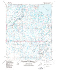
1955 Map of Beechey Point A-2
USGS Topo · Published 1988About this map
The Sagavanirktok River Delta dominates this Arctic landscape, where the braided Main Channel of the Sagavanirktok River meets the waters of Foggy Island Bay. The terrain is characterized by numerous lakes and the presence of several Pingos, distinctive ice-cored mounds that rise from the coastal plain.
Find a feature on this map
19 named features on this map. Tap any name to fly to it.
Don’t see what you’re looking for? This feature index may not catch every label — zoom into the map to look around manually.
Map Details
Editions of this 1955 Beechey Point A-2 Map
3 editions found
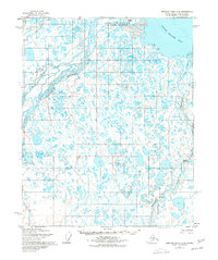
Other maps of this area

1951 · Beechey Point
USGS Topo · 1:250,000

1951 · Sagavanirktok D-5
USGS Topo · 1:250,000

1955 · Beechey Point
USGS Topo · 1:250,000

1955 · Beechey Point B-2
USGS Topo · 1:63,360

1955 · Beechey Point B-1
USGS Topo · 1:63,360

1955 · Beechey Point A-1
USGS Topo · 1:63,360

1955 · Beechey Point A-2
USGS Topo · 1:63,360

1955 · Beechey Point A-3
USGS Topo · 1:63,360

1955 · Beechey Point B-3
USGS Topo · 1:63,360

1955 · Sagavanirktok D-3
USGS Topo · 1:63,360