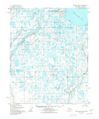
1955 Map of Beechey Point A-2
USGS Topo · Published 1977About this map
The Sagavanirktok River Delta dominates this mid-century survey, revealing a complex Arctic coastal landscape where the Sagavanirktok River (Main Channel) meets the Beaufort Sea. The terrain is characterized by an intricate network of braided channels and thaw lakes, with Foggy Island sitting just offshore in Foggy Island Bay. The map records early industrial and logistical footprints in the North Slope region, noting several remote installations such as a Drill Pad and numerous Drill Hole sites scattered across the tundra.
Find a feature on this map
12 named features on this map. Tap any name to fly to it.
Don’t see what you’re looking for? This feature index may not catch every label — zoom into the map to look around manually.
Map Details
Editions of this 1955 Beechey Point A-2 Map
3 editions found
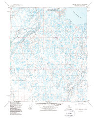
Other maps of this area

1951 · Beechey Point
USGS Topo · 1:250,000

1951 · Sagavanirktok D-5
USGS Topo · 1:250,000

1955 · Beechey Point
USGS Topo · 1:250,000

1955 · Beechey Point B-2
USGS Topo · 1:63,360

1955 · Beechey Point B-1
USGS Topo · 1:63,360

1955 · Beechey Point A-1
USGS Topo · 1:63,360

1955 · Beechey Point A-2
USGS Topo · 1:63,360

1955 · Beechey Point A-3
USGS Topo · 1:63,360

1955 · Beechey Point B-3
USGS Topo · 1:63,360

1955 · Sagavanirktok D-3
USGS Topo · 1:63,360