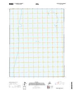
2017 Map of Beechey Point B-2 NW
USGS Topo · Published 2017About this map
Beaufort Sea waters dominate this coastal survey along the northern edge of the North Slope. The maritime landscape is defined by a chain of barrier islands that separate the open sea from the inner lagoons. Cross Island and Bartlett Island are the primary terrestrial features, appearing as narrow, shifting landmasses situated several miles offshore. These islands are critical components of the arctic shoreline, providing a glimpse into the dynamic coastal geomorphology of the region in the early 21st century. The map also delineates the grid system of the Public Land Survey System, showing sections within townships such as t13n r16e and t12n r16e.
Find a feature on this map
7 named features on this map. Tap any name to fly to it.
Don’t see what you’re looking for? This feature index may not catch every label — zoom into the map to look around manually.
Map Details
Editions of this 2017 Beechey Point B-2 NW Map
This is the sole edition of this map. No revisions or reprints were ever made.
Other maps of this area

1951 · Beechey Point
USGS Topo · 1:250,000

1955 · Beechey Point
USGS Topo · 1:250,000

1955 · Beechey Point B-2
USGS Topo · 1:63,360

1955 · Beechey Point B-3
USGS Topo · 1:63,360

1960 · Beechey Point
USGS Topo · 1:250,000

1962 · Beechey Point B-2
USGS Topo · 1:50,000

1964 · Beechey Point
USGS Topo · 1:250,000
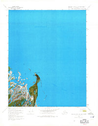
1970 · Beechey Point B-2 SE
USGS Topo · 1:24,000
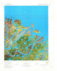
1970 · Beechey Point B-2 SW
USGS Topo · 1:24,000

1970 · Beechey Point B-3 SE
USGS Topo · 1:24,000