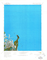
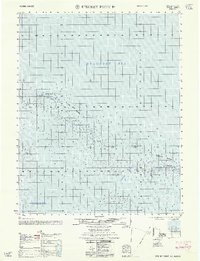
1970 Map of Beechey Point B-2 SE
USGS Topo · Published 1971About this map
Point Brower anchors this 1970 orthophotomap of Alaska’s North Slope, where the complex braids of the Sagavanirktok River delta meet the Beaufort Sea. This specific edition combines aerial photography taken in June 1970 with topographic data, capturing the interface of land and water just as industrial interest in the region was intensifying. Along the shoreline of Foggy Island Bay, researchers can find evidence of earlier habitation or seasonal use marked by Cabins (Ruins) and a solitary Tank. The landscape is characterized by its seasonal transport routes, including a Winter trail that crosses the frozen terrain. The map provides a precise view of the shifting channels of the delta, reflecting the environmental conditions of the early seventies before extensive infrastructure development altered the coastal profile.
Find a feature on this map
8 named features on this map. Tap any name to fly to it.
Don’t see what you’re looking for? This feature index may not catch every label — zoom into the map to look around manually.
Map Details
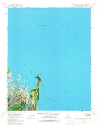
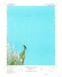
Editions of this 1970 Beechey Point B-2 SE Map
3 editions found
Other maps of this area

1951 · Beechey Point
USGS Topo · 1:250,000

1955 · Beechey Point
USGS Topo · 1:250,000

1955 · Beechey Point B-2
USGS Topo · 1:63,360

1955 · Beechey Point B-1
USGS Topo · 1:63,360

1955 · Beechey Point A-1
USGS Topo · 1:63,360

1955 · Beechey Point A-2
USGS Topo · 1:63,360

1960 · Beechey Point
USGS Topo · 1:250,000
1962 · Beechey Point A-1
USGS Topo · 1:50,000

1962 · Beechey Point B-2
USGS Topo · 1:50,000
1962 · Beechey Point B-1
USGS Topo · 1:50,000